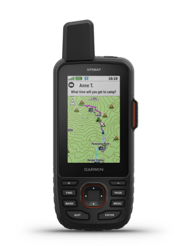
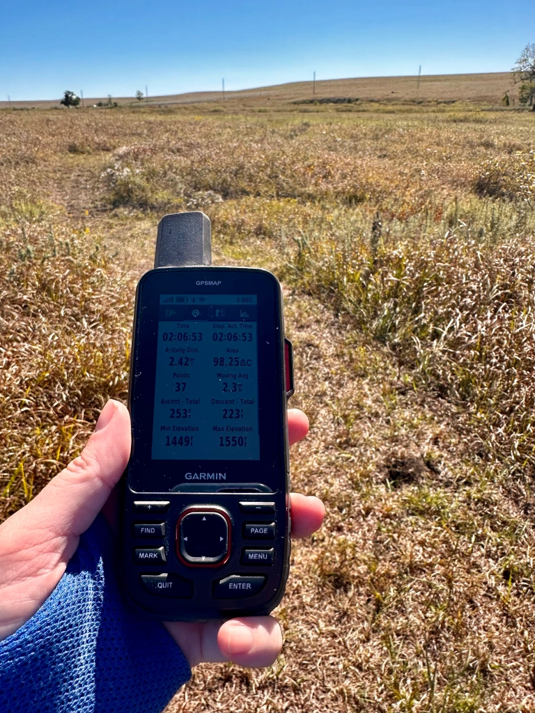
Garmin was nice enough to loan us the Garmin GPSMAP 67i to help create the maps for the second edition of the Kansas Trail Guide. It is currently one of their top of the line handheld GPS device, and with its wealth of features, it’s easy to see why.
It retails at $499.99 with Garmin without the inReach technology (more on that later) and $599.99 with the inReach technology. It comes preloaded with topographic maps on an easy-to-read 3-inch color screen. Navigation is via the buttons below the screen; if you’re looking for touchscreen technology, check out their Montana line, which costs $100 more.
GPS technology has come a long way in the decade it’s been since we researched the first Kansas Trail Guide book, so while we loved the Garmin devices we used then, like the Garmin GPSMAP 64s, we were stoked to check this one out.
The GPSMAP 67i is particularly great at getting a clear signal even when you’re in forested areas — there are far fewer, if any, of the annoying spikes to your recorded route that you would get with older technology. IYKYK.
It has an LED flashflight built-in, and it has an outstanding battery with 165 hours of battery life with an expedition mode that expands that time to 425 hours.
The GPSMAP 67i is, admittedly, a bit more technology than is needed for most hiking in Kansas; however, it is an impressive device. And if you’re headed into the backcountry where there isn’t cell service, if you’re out by yourself without cell service and want a way to call for help, or if you’re on a long trip where you don’t want to have to charge your phone to be able to access your maps and send messages, this is definitely a device that you’ll want to consider getting.
Here’s the promised section on the inReach technology, and it’s really what makes the GPSMAP 67i stand out. If you’re going to buy the GPSMAP 67i, it seems most useful for its inReach communication features, including the SOS service, and those do come at a monthly cost. Plans range from $11.95 to $99.95 per month depending on the service level that you get. All the plans include unlimited preset messages that you can send to specified recipients with things like an update of your location as well as unlimited SOS. You can choose from an annual contract or a month-to-month service so you’re not paying for time when you’re not using the service.
Hopefully you’re not needing to send a lot of or any SOS messages, but the device has a dedicated SOS button on it, so you don’t have to remember how to navigate to it, which will send your location to emergency services. And while the SOS button is easy to get to (see the bump on the right side of the case in the picture), it’s also covered, making it hard to accidentally push.
The GPSMAP 67i also has the option to receive messages and get weather info. And your friends and family at home can track your route as you go — all with the subscription.
You can track your route, transfer saved routes from your computer onto the device, and plan routes before you head out. You don’t have to be looking at your device the entire time to know you’re on the right path; when you need to turn or get off route, the device is set to automatically vibrate and beep at you to help alert you. It has saved waypoints, like gas stations and local landmarks, and you can set and save your own waypoints.
It took a little bit of time to navigate the interface and get used to how to find my most used functions. So take the time to play with at home a bit before heading out on the trail. Other reviewers have noted that the maps included didn’t include enough detail for their needs. As we were using the device to make routes to make our own maps, that wasn’t something we were able to test, but it’s something to keep in mind.
One thing to note: if you have a MacBook that doesn’t include USB ports, if you want to be able to install updates with Garmin Express or otherwise transfer data to and from your computer and your GPSMAP67i, the app that helps you manage and use your device, the data transfer with the cable isn’t always the best, in that it wasn’t always recognized by my computer. That issue was confirmed by Garmin customer support, using an adaptor with their cords to Mac devices can cause trouble with data transfer, and they advised buying a third-party cable.


Pingback: Kansas Trail Guide Stocking Stuffers Ideas – Kansas Trail Guide