
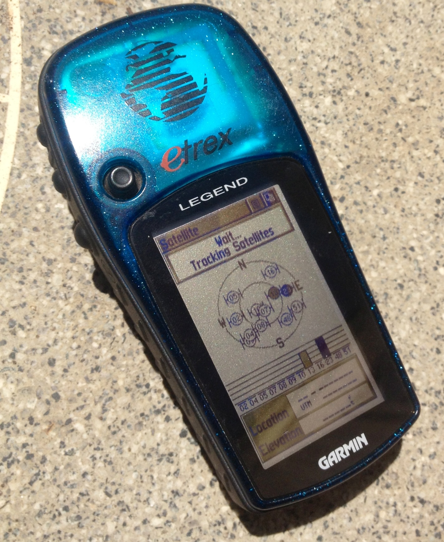
We’re using Garmin’s eTrex Legend to make the maps for our upcoming Kansas Trails Guidebook.
Why we love it:
 Small and lightweight at 5.3 oz (150g) and 2.0″ x 4.4″ x 1.2″, it’s easy to slip into a pocket.
- Waterproof (though doesn’t float)
- Screen is easy to read, even in bright, direct sunlight
- Powered by AA batteries, it lasts up to about 16 hours (can depend on temperature and how long it has to search for a signal – can take longer in heavily wooded areas), which should be plenty of time for an overnight trip, though always bring extra batteries
- Handheld and easy navigation through menus – in fact, the whole thing is designed to be used with just the left hand.
- Built in base map
- Easy waypoint setting
- Navigation between waypoints
- Sunrise/sunset information, so you know how much daylight you have left!
- Good price point at $149.99 through Garmin
For us, these aren’t deal breakers, but so you know what it doesn’t have:
- Gray scale screen, not color
- 8 mb extra space to add maps, which may not be enough for those wanting to use it to upload larger, more detailed city maps – though for on the trail, that’s not as much of a problem
- No barometic altimeter
- May take awhile to pick up a signal if in a wooded area
Play around with it before you head out on the trail with it for the first time so you get a feel for it, and we’ll be including coordinates in our maps and trail guides, so you can always double check to make sure you’re on the right track.

Pingback: Review of Garmin Oregon 650t | Kansas Trail Guide
Pingback: Review of Garmin GPSMAP 64s | Kansas Trail Guide