10 more Christmas gifts for the trail lover in your life

We’ve done it before here and here, and we’re back this year to do it again. There are still 11 days of shopping left until Christmas, and these are our top 10 gifts for the trail lover in your life. Some are ideal for on the trail and some are good for prep and recovery and some are created right here in Kansas. And they’re all awesome!

1. Well, let’s be honest. As the authors, there was really no way we’d be able to start a list with anything but our very own Kansas Trail Guide: The Best Hiking, Biking, and Riding in the Sunflower State.

But in our defense, it’s an ideal gift for any trail lover who might be passing through the Midwest. If you want your copy signed, send us an email at: kansastrailguide [@] gmail [.] com.

$24.95

2. Via the Trail Runner magazine website, honey can help keep you going.

“A Journal of Strength and Conditioning Research study found that cyclists who consumed 15 grams (about a tablespoon) of honey, dextrose (a form of sugar) or a placebo containing no carbs every 16-ki- lometers of a 64k effort were able to go faster and produce more power with the honey or dextrose (no significant differences between the honey and dextrose). research suggests consuming sugar blends, such as honey, which contains both fructose and glucose, can be more effective at ramping up performance than sports gels or chews with just a single sugar source.”

You can buy local honey from places like KC Raw Honey, Chautauqua Hills Farm, Glenn’s Bulk Food, and more.


3. Pricey? Yes. Amazing? Also yes. Yeti has some of the best coolers around; we like the Tundra 35. You can stand on them, if the occasion warrants, plus they have up to 3 inches of insulation and are easy to haul around.

They have a 5-year warranty, and according to their website, they’re grizzly proof (though I suppose that’s not really an issue in the Midwest!). Pretty much the last cooler you’ll ever have to buy – not only for its ability to keep your ice from melting, but for its incredible durability.

From $299.99

4. Handmade, natural soaps. You have to (or at least should) clean up after a day or five on the trail, and why not use soap that’s handcrafted in Kansas? Try out Great Cakes Soapworts (you can also find them at the Olathe Farmer’s Market in season) or Foam on the Range.

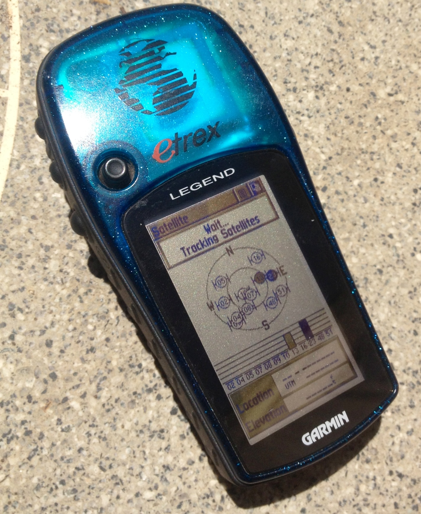
5. Handheld GPS devices can be wildly helpful. They can also be a tad unwieldy to lug around off the trail. Fix that problem and be ready for adventure at all times with the Garmin fenix 3.

With the Sapphire version, you can get it with a leather strap or in rose gold and white. And with the standard fenix 3, you can get red or black. Oh, and they both do the requisite awesome GPS tasks from tracking your route to being waterproof to telling you altitude, pressure, and direction.

From $499.99.

6. The perfect fit to a stocking and at times ideal for trail prep (just don’t overdo!), a bag of heavenly smelling and heavenly tasting coffee beans. Try PT’s Coffee Lump O’ Coal blend with tastes of chocolate.

$17.50

chamber-header

Image from usa.fabric.cc

7. If you’re a cyclist, you may already have these tools, but it’s pretty likely they don’t come in this nice of a package! Fabric has made its Chamber multi-tools in swish and smooth canister.

You get 13 easy to access tools in a container that won’t snag on anything in your panniers, and they have a fixed head and a ratchet head option.

From $50

8. Perfect for day hikes, which many of the Kansas trails are, Osprey has unveiled its 2016 Skarab 24 .

Along with a built-in 2.5 liter hydration reservoir, it has a hip belt to help spread out the weight, a scratch free pocket perfect for sunglasses or a phone, and an easy access outside “shove-it” pocket that, as it happens, will fit the Kansas Trail Guide!

From $100

9. Another 2015 book from University Press of Kansas is Kansas Wildflowers and Weeds. This large, nearly coffee table size book is full of color images and descriptions for the most devoted plant lover in your life, and you can see how many you can spot along the way.

$39.95.

10. You can give a membership gift to the Rails-to-Trails Conservancy that will not only get you (or your loved one) a t-shirt, but you’ll know that the money will be going to making more trails and supporting the upkeep of rail trails already in place.

You can also donate directly to the Kanza Rail-Trails Conservancy, which does work entirely within Kansas – they helped build the Landon Nature Trail and are working to finish the Flint Hills Nature Trail.

Review of Garmin GPSMAP 64s

photo-1

GPSMAP 64s

The time has come to review another Garmin GPS device. First we had the eTrex Legend, then the Oregon 650t and now we have the GPSMAP 64s ($399).

Things to love about it:

Comes with a basemap that you could still use to follow your own track and you get a free regional 24K topo map that you can download via your computer.

Uses GPS satellites as well as Russian GLONASS satellites, which means that in heavy tree cover or canyons, you still get a signal.

Screen is sunlight readable and can be brightened or darkened – darker gives you more battery life.

Can be connected to your computer via USB and tracks can be transferred via BaseCamp.

Waterproof and durable.

It’s a handheld device that also comes with a way to carabiner/clip it to your bag or a mount to put on a bike.

Great at determining elevation with a barometric altimeter (though, frankly, in Kansas, this isn’t as much of a concern) and electronic compass gives good bearings on which way you’re facing, even if you’re not holding the device level.

Want to know when you’re within .05 to 250+ miles of a certain spot? You can set a proximity alarm for different locations that you can set before you leave or at the car.

It can be synced with Bluetooth and you can also link it to get text notifications if you pair it to your iPhone (apparently – I didn’t try it because I didn’t want alerts on the trail).

You can wirelessly send and receive data with other GPS devices.

It gives you sun/moon data – daylight hours left are important to know, and you won’t miss sunrise.

Thousands upon thousands of preloaded geocaches that you can check off, if you’re into that kind of thing.

Things be aware of:

Official waterproof testing

Official waterproof testing

My main annoyance was that there wasn’t a touch screen (I’m used to touch screens, though my slightly more Luddite brother was a fan of the buttons from the start).

But as I did some thinking about it, it’s easier to use buttons if you have on gloves or if it’s raining. So it may take some getting used to for those more accustomed to smart phones, but I think it’s something work getting used to.

It doesn’t have a camera.

Another thing to consider is the mapping. With the 64s, the topographic maps don’t come loaded, though it does come with the option to get one region of 24K topo maps for free as well as the option to buy more.

If you want maps preloaded, you can get GPSMAP 64st, which comes with 100K topo maps (not as great a resolution as the 24K, but for Kansas, which has relatively little elevation concerns, 100K is fine) and that will cost you an extra $100.

For $100 less than the 64s, at $299, you can get the Garmin GPSMAP 64, with that you lose the wireless connection and the barometric altimeter and the triaxial compass, so you have to hold it level to get an accurate reading.

Final thoughts:

Take some time to play with it before you head out on the trail, download your free 24K map, always carry extra batteries, and have fun tracking your trail runs or geocaching efforts.

Smoky Valley Ranch Long Loop | Garmin Adventures

One of the cool features about Garmin is that with their BaseCamp software, you can check out other trails and create “adventures” from the trails you’ve been on that include the photos taken with the GPS and all the waypoints. Publishing the adventure through BaseCamp means that others can download it and use the information.

Below is an example of the adventures – our trip through the shortgrass prairie and Cretaceous chalk formations at Smoky Valley Ranch: the answer to last week’s “Do you know where this is?“. It’s also a kind of preview for the book. We’ll be including detailed maps, made with Garmin GPS devices, that include important waypoints along the trail. What’s missing in the adventure that you’ll get in the book is the description of the area and the trail itself, but the map gets you halfway there.

Check it out and let us know what you think.

Smoky Valley Ranch Long Loop | Garmin Adventures.

Review of Garmin Oregon 650t

Moving from the Garmin eTrex to the Garmin Oregon 650t was like moving from a rotary telephone to a smart phone. Don’t get us wrong – the rotary telephone still gets the job done, but the shiny new Garmin Oregon 650t’s that we have on loan to use for the book are just, well, they’re just amazing.

It’s hard to know where to begin. Some of the highlights:

Oregon 650t

Oregon 650t

  • Color touchscreen that changes orientation based on how you’re holding it – horizontally or vertically
  • 8 megapixel camera
  • USB connection to charge from a computer or an outlet AND the ability to swap out the rechargeable Garmin batteries with double A’s if you run out of juice on the trail – the device will beep to signal that it’s low on battery, and there’s ways to set the screen to help preserve battery life
  • Already loaded topographic maps
  • Easy to mark waypoints and space to take notes
  • A carabiner attachment to clip it to a backpack or belt loop
  • Waterproof – anyone who’s been in Kansas over this summer knows just how important that is
  • The ability to save 200 tracks and 4000 waypoints

Best of all – this handheld device hasn’t lost signal for us once, even in heavily wooded areas. So you always know where you are and what direction you’re headed in (or should be headed in.) You’re also guaranteed to know exactly how far you’ve gone and the accuracy of the track since the signal doesn’t drop out.

One of the convenient benefits that we found for making maps was the option to pause the track, so if you go off the trail, you won’t have a messy map when you upload your trail back home.

On the Trip Computer screen, you can easily find out how long you’ve been hiking/biking/riding, how fast you’re going, your overall average, etc. And along with following your track on the Trip Information screen, you can check out your elevation profile, and you can remember where you were on a certain day with the calendar. While sunrise and sunset are given, if you happen to get caught out after dark, there’s a flashlight.

Uploading information from the GPS is easy with a Mac or PC – the free BaseCamp software lets you design “Adventures” (one to be shown off on this site soon!) from the tracks you’ve recorded, the waypoints you marked, and the pictures that you took and then you can share that Adventure online.

Minor complaints

  • It’s easier to plug in the USB cord after taking off the carabiner attachment. It’d be a touch more convenient if it could easily be plugged in while the carabiner was still on
  • Sometimes the carabiner can get in the way of the camera – hold it down to make sure it’s out of the way

Yes, it’s pricier at $549, but you really do get what you pay for with this bad boy. I hate to have to give it back once the trails are mapped, and I’ve already started saving up to buy my own.

Review of Garmin eTrex Legend

We’re using Garmin’s eTrex Legend to make the maps for our upcoming Kansas Trails Guidebook.

Why we love it:

  • photoSmall and lightweight at 5.3 oz (150g) and 2.0″ x 4.4″ x 1.2″, it’s easy to slip into a pocket.
  • Waterproof (though doesn’t float)
  • Screen is easy to read, even in bright, direct sunlight
  • Powered by AA batteries, it lasts up to about 16 hours (can depend on temperature and how long it has to search for a signal – can take longer in heavily wooded areas), which should be plenty of time for an overnight trip, though always bring extra batteries
  • Handheld and easy navigation through menus – in fact, the whole thing is designed to be used with just the left hand.
  • Built in base map
  • Easy waypoint setting
  • Navigation between waypoints
  • Sunrise/sunset information, so you know how much daylight you have left!
  • Good price point at $149.99 through Garmin

For us, these aren’t deal breakers, but so you know what it doesn’t have:

  • Gray scale screen, not color
  • 8 mb extra space to add maps, which may not be enough for those wanting to use it to upload larger, more detailed city maps – though for on the trail, that’s not as much of a problem
  • No barometic altimeter
  • May take awhile to pick up a signal if in a wooded area

Play around with it before you head out on the trail with it for the first time so you get a feel for it, and we’ll be including coordinates in our maps and trail guides, so you can always double check to make sure you’re on the right track.